
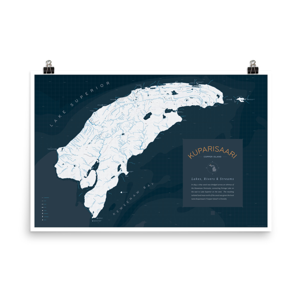
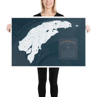
Description
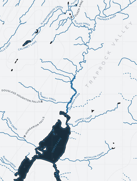
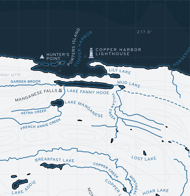
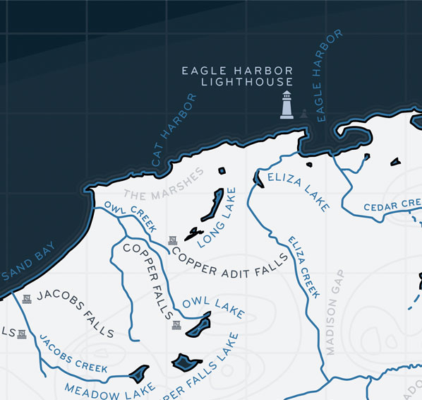
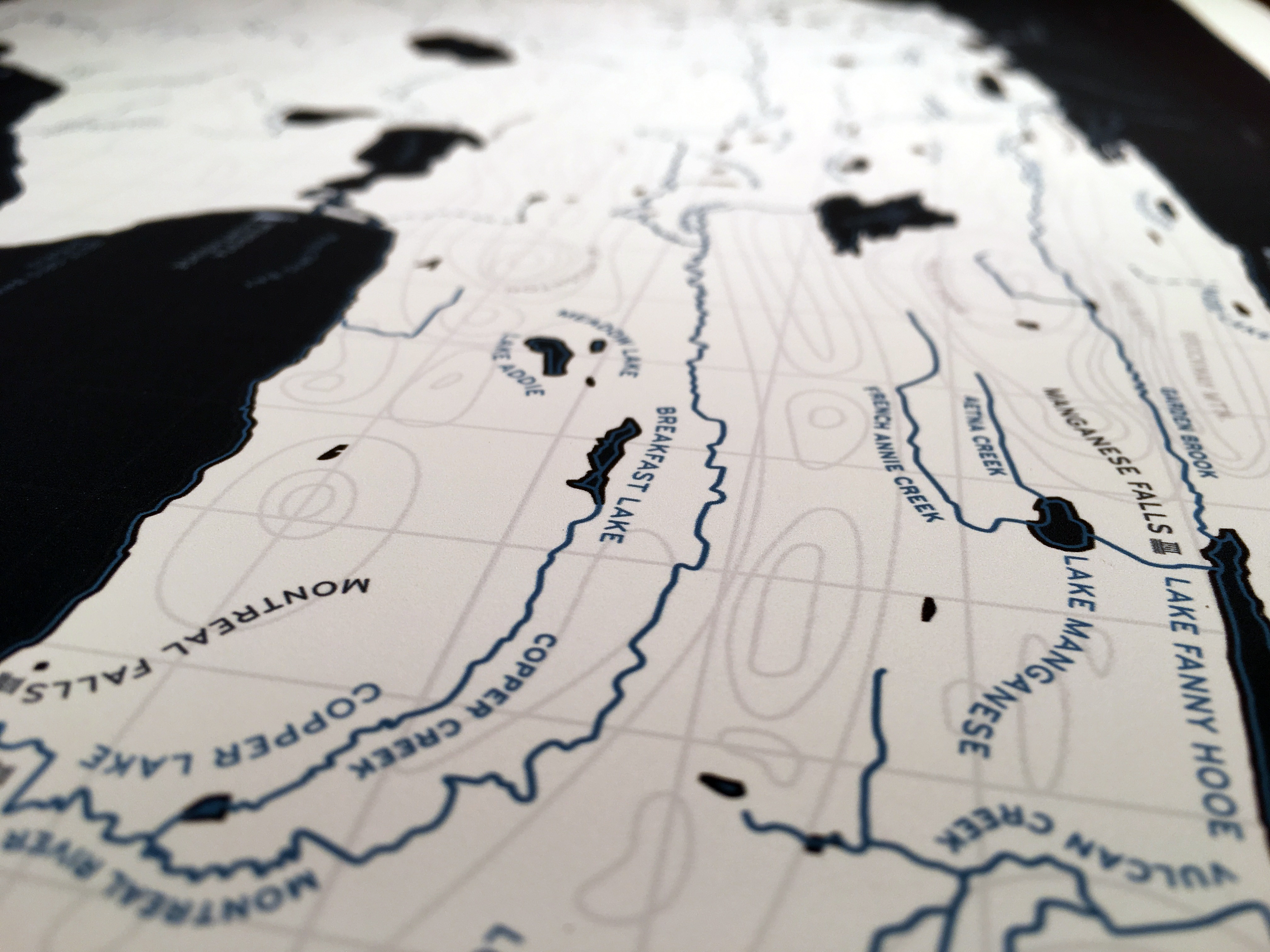
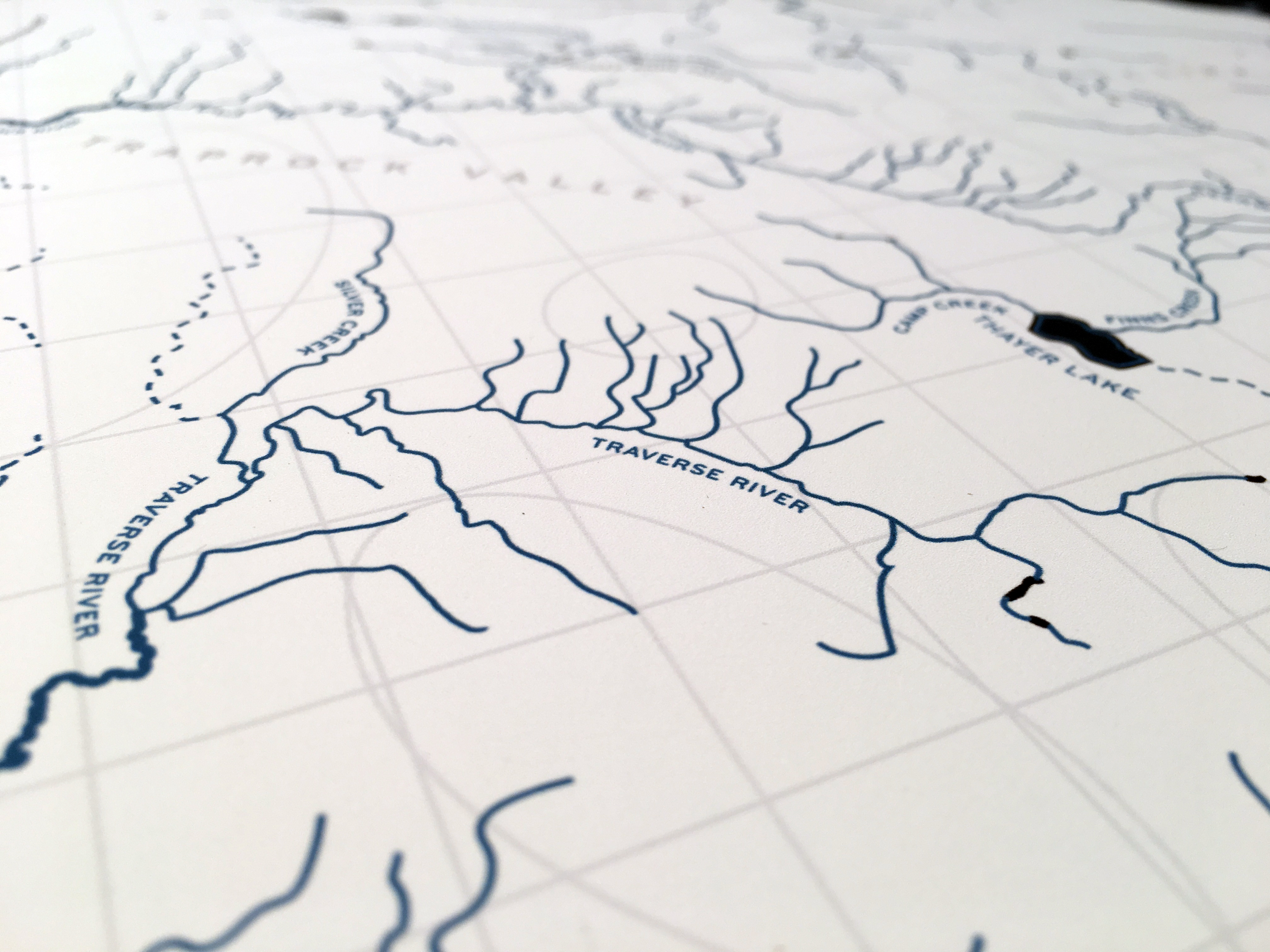
This map is a painstakingly drawn representation of the natural beauty of Michigan’s Keweenaw Peninsula.
It was digitally hand-drawn over the course of two years, using DNR quadrangle maps, satellite photos, and many other references, including personal experience from growing up and stream fishing in the area.
The absence of roads and towns draws the viewer into the landscape in a unique and surprising way. Whether you love the Keweenaw, or just maps, this is the perfect addition to your space.
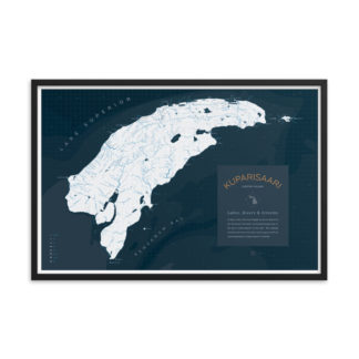
• Printed at 24″x36″ (2×3 feet)
• Frame NOT Included
• Ships rolled and protected by tissue paper
• Paper thickness: 10.3 mil
• Giclée printing quality
MAP DESCRIPTION PANEL:
“In 1859, a ship canal was dredged across an isthmus of the Keweenaw Peninsula, connecting Portage Lake on the east to Lake Superior on the west. The resulting isolated land mass north of the canal was given the local name Kuparisaari (“Copper Island” in Finnish).”

Reviews
There are no reviews yet.